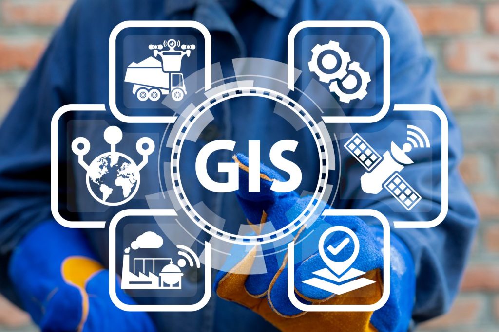
GIS Mapping
Our IT company excels in GIS Mapping Services, offering a comprehensive suite specifically tailored to meet diverse needs. By leveraging cutting-edge geospatial technologies, we provide not only accurate but also highly insightful mapping solutions. Moreover, our team of skilled professionals ensures precision in spatial data analysis, cartography, and visualization. For instance, whether it’s mapping for urban planning, environmental monitoring, or location-based analytics, we consistently deliver reliable and scalable solutions.
Additionally, with a strong focus on innovation and a commitment to staying current with industry advancements, our GIS services significantly contribute to more efficient decision-making processes for businesses and organizations. Consequently, you can trust us to harness the power of geospatial intelligence, thereby optimizing your operations and unlocking critical strategic insights. In conclusion, our expertise in GIS Mapping Services not only enhances operational efficiency but also empowers you to make informed decisions that drive success.
Key Components and Functionalities
1. Geospatial Data Collection: GIS Mapping Services systematically collect geospatial data about the Earth’s surface, gathering information from satellites, aerial surveys, and ground-based instruments.
2. Spatial Analysis: Additionally, GIS uses spatial analysis to examine patterns and trends in geographical data, enabling informed decisions crucial for urban planning and resource allocation.
3. Map Creation and Visualization: Moreover, GIS creates maps that visually represent complex geographical information, aiding stakeholders in understanding spatial patterns for better decision-making.
4. Database Management: GIS incorporates a robust database system to efficiently manage, store, and retrieve geospatial data, facilitating data sharing and ensuring information integrity.
5. GPS Integration: By integrating GPS technology, GIS enables real-time tracking and mapping of physical locations, enhancing navigation and field survey precision.
6. Decision Support Systems: Furthermore, GIS acts as a decision support tool, providing a spatial context for analyzing different scenarios, which aids strategic planning across sectors.
7. Environmental Modeling: GIS plays a vital role in environmental modeling, simulating scenarios to predict land-use impacts and assess natural disasters.
8. Customized Applications: In addition, GIS Mapping Services can be tailored to specific industries, creating applications that address unique challenges in agriculture, urban planning, and more.
9. Data Visualization Techniques: GIS employs various visualization techniques, such as thematic and 3D mapping, to represent complex data in an actionable format.
10. Interoperability: Finally, GIS ensures interoperability, allowing seamless integration with other software and data sources, promoting collaboration across different domains.